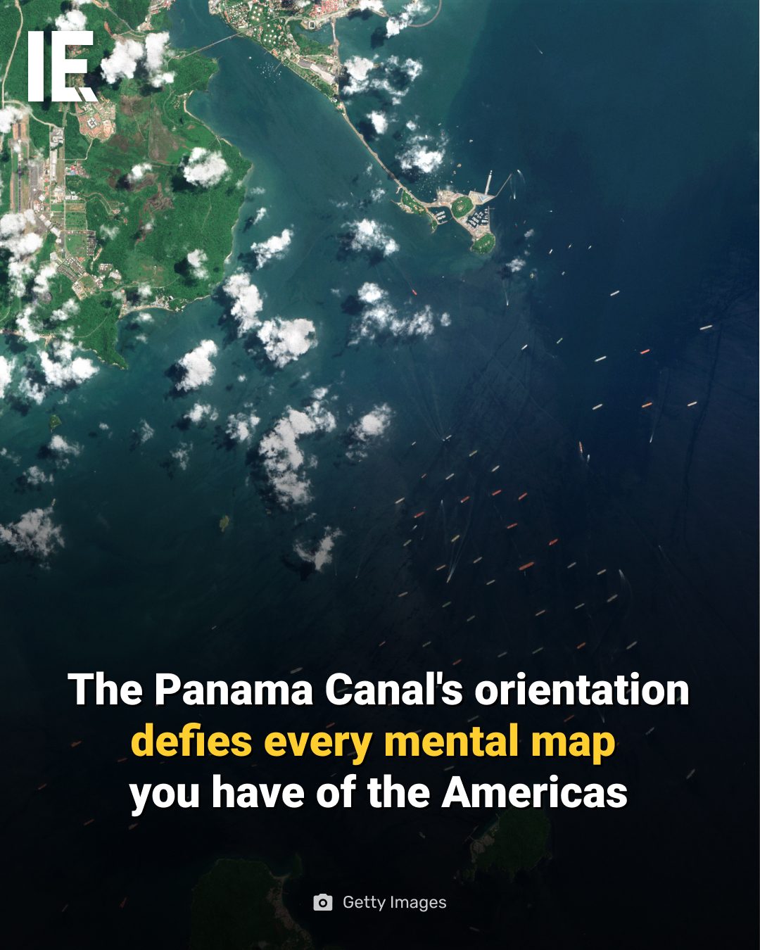
Panama Canal Orientation
The Panama Canal's unique orientation is one of the most intriguing geographical features of the Americas. The canal runs roughly north to south, with the Atlantic entrance at Colón sitting about 43 kilometers east of the Pacific exit at Panama City. This configuration means that a ship crossing from the Atlantic to the Pacific actually travels southeast, a fact that can be disorienting even when looking at a map.
Why This Matters
Understanding the Panama Canal's orientation is crucial for several reasons. It affects everything from shipping routes to geographical navigation and even challenges conventional mental maps of the Americas. The canal's unique path is a testament to human engineering and has significant implications for global trade and maritime navigation.
The Geography of the Panama Canal
The Isthmus of Panama
The Isthmus of Panama is a narrow strip of land that connects North and South America. This isthmus curves so dramatically that the Panama Canal, which cuts through it, runs roughly north to south. This orientation is unlike any other major canal in the world, making it a unique geographical feature.
The Canal's Path
The Panama Canal's path is a marvel of engineering. It stretches about 82 kilometers (51 miles) from the Atlantic entrance at Colón to the Pacific exit at Panama City. The canal's route is designed to take advantage of the natural topography, with locks and lakes to help ships navigate the different elevations.
The Curious Orientation
The canal's orientation is particularly intriguing because it challenges our mental maps of the Americas. Typically, we think of the Americas as running north to south, with the Atlantic to the east and the Pacific to the west. However, the Panama Canal's path runs from southeast to northwest, making it feel counterintuitive.
The Impact on Shipping and Navigation
Global Trade
The Panama Canal is a crucial waterway for global trade. It connects the Atlantic and Pacific Oceans, allowing ships to avoid the lengthy and dangerous journey around the southern tip of South America. The canal's unique orientation means that ships can traverse between the two oceans more efficiently, significantly reducing travel time and costs.
Maritime Navigation
The canal's orientation also has implications for maritime navigation. Ships navigating the canal must adjust to its unique path, which requires careful planning and precise navigation. The canal's locks and lakes also present challenges that require specialized knowledge and equipment.
Practical Tips for Understanding the Canal's Orientation
Studying Maps
One of the best ways to understand the Panama Canal's orientation is by studying maps. Looking at a detailed map of the region can help you visualize the canal's path and its relationship to the surrounding geography. Pay attention to the direction of the canal and how it relates to the coastline.
Understanding the Locks
The Panama Canal uses a system of locks to lift and lower ships as they navigate the different elevations. Understanding how these locks work can also help you appreciate the canal's unique orientation. The locks are a key part of the canal's engineering and play a crucial role in its operation.
Visiting the Canal
If possible, visiting the Panama Canal can provide a firsthand understanding of its unique orientation. Seeing the canal from above, as in the aerial view, can help you appreciate its path and how it relates to the surrounding landscape. There are many tours and observation points along the canal that offer great views and insights.
Important Takeaways
- The Panama Canal runs roughly north to south, with the Atlantic entrance at Colón and the Pacific exit at Panama City.
- The canal's unique orientation challenges conventional mental maps of the Americas.
- The canal's path is a testament to human engineering and has significant implications for global trade and maritime navigation.
- Understanding the canal's orientation requires studying maps, understanding the locks, and possibly visiting the canal.
Conclusion
The Panama Canal's unique orientation is a fascinating aspect of its geography and engineering. Its path, which runs roughly north to south, challenges conventional mental maps of the Americas and has significant implications for global trade and maritime navigation. By understanding the canal's orientation, we can better appreciate its importance and the challenges it presents. Whether you are a geography enthusiast, a shipping professional, or simply curious about the world, the Panama Canal's orientation is a topic worth exploring.
Watch the Reel
Questions readers ask
Why does the Panama Canal run from north to south rather than east to west?
The Panama Canal's north-south orientation is due to its geographical location on the isthmus of Panama, which connects North and South America. This positioning naturally aligns the canal in a north-south direction, with entrances on the Atlantic and Pacific coasts. This is a geographical peculiarity that distinguishes the Panama Canal from other significant waterways.
How does the Panama Canal's orientation affect shipping routes?
The unique orientation of the Panama Canal means that ships transiting from the Atlantic to the Pacific must travel southeast, which can be counterintuitive. This affects shipping routes by requiring vessels to adjust their navigation plans accordingly and can influence the overall efficiency of maritime transport through the Americas.
Why is the Panama Canal's orientation disorienting on a map?
When viewing a map, the Panama Canal's orientation can be disorienting because it challenges conventional mental maps of the Americas. Many people expect the canal to run east to west, aligning with the typical left-to-right or right-to-left map view, but its actual north-south path can make it appear off-kilter or unexpected.
What are the implications of the Panama Canal's unique orientation for global trade?
The Panama Canal's unique orientation has significant implications for global trade, as it facilitates the efficient transfer of goods between the Atlantic and Pacific Oceans. This shortcut saves time and resources, making it a critical link in international supply chains and maritime navigation. The orientation optimizes the canal's use for various vessel types and sizes, accommodating global trade demands.
How does the Panama Canal's curve affect navigation?
The Panama Canal's orientation includes a distinctive curve, which is an important factor in navigation. This curve, combined with the overall north-south alignment, requires precise maneuvering and careful handling of ships. Navigating the curve involves understanding the canal's layout, local weather conditions, and the specific requirements of different vessels.
What makes the Panama Canal's geographical peculiarity significant?
The Panama Canal's geographical peculiarity is significant because it highlights the intersection of human ingenuity and natural geography. The unique orientation showcases the engineering marvel of connecting two major oceans and demonstrates the strategic importance of the isthmus of Panama in global maritime navigation and trade.
Related deep dives
Similar reads based on topic and creator.




Recent articles
Fresh deep dives from the latest Reels we unpacked.




Comments
Be the first to comment.