Tsunamis and their height
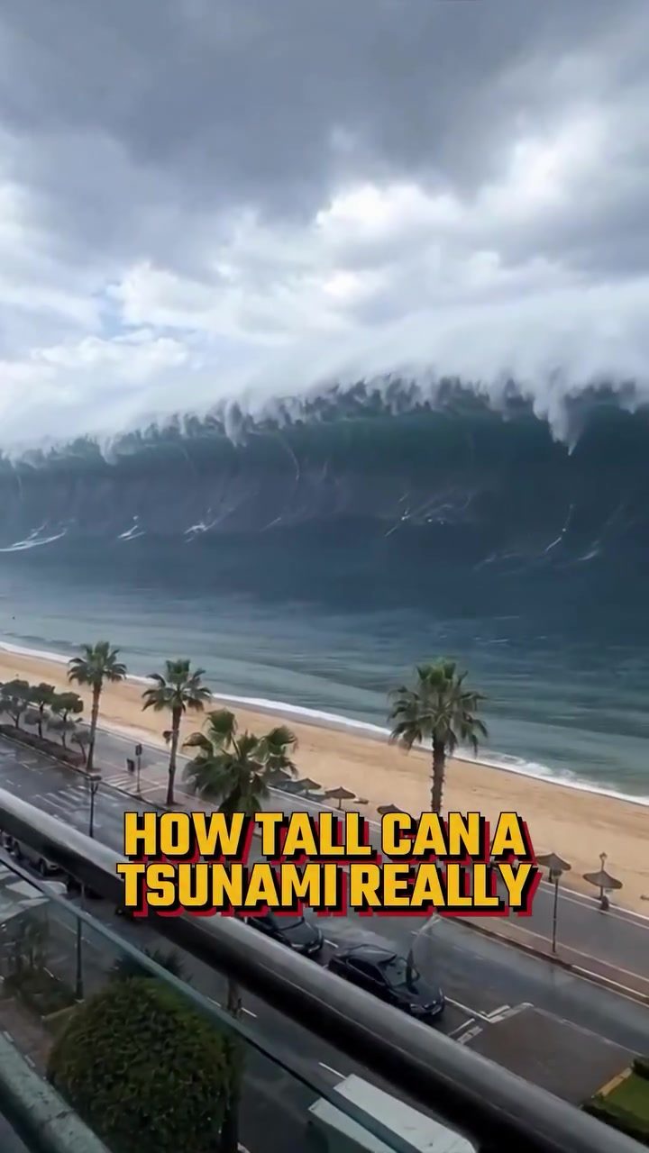
A tsunami can get remarkably tall. Just how tall? 524 meters. That's the highest recorded tsunami run-up. A single, towering wave took out a grove of full-grown trees, acted like a mountain range of wave energy. This happened in Lituya Bay, Alaska. There, a landslide plunged into the water. However the example is misleading. There isn't a straightforward upper limit. Tsunamis' heights are not always uniform. They evolve over time and space. The heights we hear about are snapshots of a cascade of events. Waves accelerate and slow at different points in their journey across the ocean.
Tsunami formation
The birth of a tsunami is a cascading chain reaction and understanding it requires precision. Earthquakes and volcanic eruptions can trigger them. But a crucial component is the the seismic activity underwater. In simple terms, scientists say something like this. A quake can displace sea water. The active movements of the seafloor push the water up, causing a ripple effect, sinking the land below. A sudden change in depth sets off a wave.
Tsunami behaviour
Curiosity about size and height doesn't just come from the spectacle. A tsunami is an active force**.** Water heaves in and out of the ocean, penetrating deeply and far inland. The speed varies too as water moves across the ocean. Scientists say it's the ocean depths that determine a tsunami’s initial speed and the distance from the source. As the wave hits the coast, its speed declines. It does so especially steeply on shallow waters. Then there is the force of the tsunami when it travels up onto the shore. The physical reality of tsunamis is a significant force but scientists are cautious with the numbers.
Tsunamis models
Scientists model a tsunami’s behavior. They input variables to simulate tsunamis. The variables include seafloor movement, ocean depth, and coastline shape. Those variables are crucial especially when quoting numbers. Ocean depth and coastline variables are mapped to show how the hydrographs change. But then there is a two dimensional view of tsunamis . Scientists caution against the idea of a tsunami as a continent-sized wall of water. It runs against our instincts but models suggest that is unrealistic. This realization means modelling tsunamis isn’t easy. It makes the models complex.
Watch the Reel
Related deep dives
Similar reads based on topic and creator.
Recent articles
Fresh deep dives from the latest Reels we unpacked.
Comments
Be the first to comment.