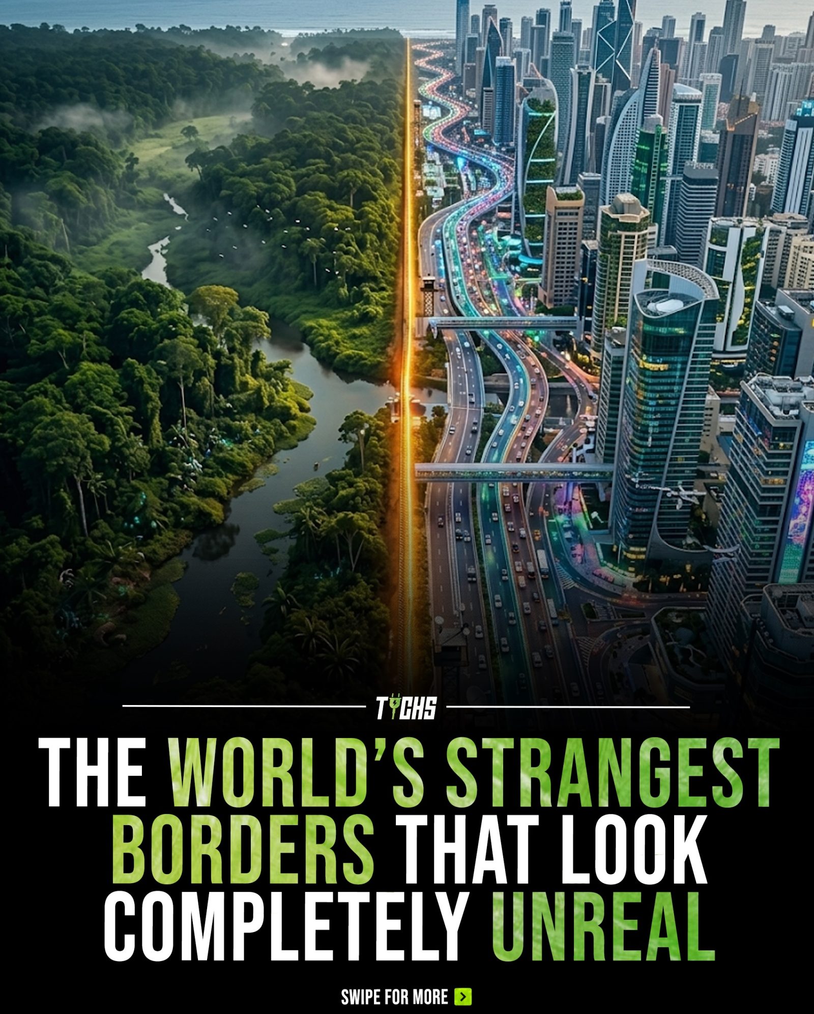
The World's Strangest Borders: Geographical and Political Wonders
International borders are often seen as linear divides splitting nations, but the reality is far more complex. Mountains, homes, islands, and even entire towns are split between different countries in ways that can barely be imagined. These surreal situations reveal the intricate interplay between geography and politics, illustrating the often unpredictable nature of international boundaries. Let's explore some of the world's most unusual and intriguing borders.
Why This Matters
The world's borders are more than just lines on a map; they are the results of historical, political, and geographical forces that have shaped our world. Understanding these strange and surreal borders provides a deeper appreciation of how land, politics, and people interact. Whether you are a traveler, a geographer, or simply curious about the intricacies of global boundaries, these stories offer a glimpse into the fascinating complexities of our world.
The Nature of Unusual Borders
Dividing Mountains
Mount Everest, the world's highest peak, is a prime example of how borders can cut through natural landmarks. The summit of Everest is the dividing line between Nepal and China (Tibet). This makes the highest point on Earth a shared territory, with climbers often hopping from one country to another with each step near the peak. This unusual situation adds another layer of complexity to the already challenging endeavor of climbing the world's highest mountain.
Enclaves and Exclaves
Enclaves and exclaves are small territories that are completely surrounded by another country or are separated by another country, respectively. These areas often create unique border situations. The Dutch town of Baarle is a well-known example, where the borders of the Netherlands and Belgium intertwine in a complex web of enclaves. Some houses in Baarle even have rooms that belong to different countries, with residents often crossing international borders multiple times a day without leaving their own property.
Divided Islands
Islands, especially those in close proximity to multiple countries, often experience unusual border divisions. The Diomede Islands in the Bering Strait are a striking example. Little Diomede, part of the United States, and Big Diomede, part of Russia, are separated by just 2.4 miles of water. The International Date Line passes between the two, creating a time difference of nearly a full day. This proximity and the stark difference in time zones make the islands a fascinating case study in border dynamics.
Urban Borders
Some urban areas have borders that cut through the heart of cities, affecting everyday life in surprising ways. Dinkspierlo, a town in the Netherlands, has a particularly unusual situation where the border runs through houses, streets, and even kitchens, dividing them into Dutch and German sections. Residents often joked about having one half of their house in one country and the other half in a different one. This unusual division affects everyday life, from property ownership to local governance, creating a unique cultural and administrative landscape.
Important Case Studies
Ceuta and Melilla
Ceuta and Melilla are Spanish exclaves located on the north coast of Africa, completely surrounded by Morocco. These cities are European Union territory, which creates a unique blend of European and African cultures. The borders here are marked by high fences and surveillance systems, reflecting the tense geopolitical situation and the significant migration issues that plague the region.
Korean DMZ
The Korean Demilitarized Zone (DMZ) is one of the most heavily fortified borders in the world, separating North and South Korea. The DMZ stretches 155 miles across the peninsula, creating a buffer zone where military activity is strictly restricted. This border is a stark reminder of the ongoing political tensions between the two countries and the complex history that has shaped their relationship.
The Unclaimed Land of Bir Tawil
Bir Tawil is a unique case of an unclaimed territory located between Egypt and Sudan. Due to a historical dispute, neither country wants to claim it, making it one of the few truly stateless areas in the world. This unclaimed land is a fascinating example of how borders can be shaped by historical agreements and geopolitical conflicts.
Practical Tips
When traveling, understanding and navigating these unusual borders can be both a challenge and an adventure. Here are a few practical tips for those who find themselves in these unique situations:
-
Research the Local Regulations: Each border has its own set of rules and regulations. Always check the latest guidelines for crossing and stay informed about any changes.
-
Respect Local Customs: Different countries have different customs and traditions. Respecting these can enhance your travel experience and help you connect with locals.
-
Stay Informed About Political Situations: Political tensions can affect border crossings. Stay updated on the current political climate to avoid any unexpected complications.
-
Carry Necessary Documents: Always carry all necessary travel documents, including passports, visas, and any required permits. Be prepared for additional checks, especially in highly fortified areas.
-
Engage with Locals: Locals often have the best insights into navigating unusual borders. Don't hesitate to ask for advice or share stories with the people you meet.
Important Takeaways
The world's strangest borders offer a unique glimpse into the complex interplay of geography and politics. From dividing mountains and islands to intricate urban borders and unclaimed territories, these borders showcase the surreal and unexpected ways in which countries can be divided. Whether you're a traveler, a geography enthusiast, or simply curious about the world, exploring these borders can provide a deeper understanding of the diverse and complex nature of our planet.
Conclusion
The world is full of unusual and intriguing borders that challenge our perceptions of how countries and territories are divided. From the summit of Mount Everest to the enclaves of Baarle and the divided islands of the Diomede Islands, these borders showcase the incredible diversity and complexity of our world. As we continue to explore and understand these unusual boundaries, we gain a deeper appreciation for the intricate web of geography, history, and politics that shape our planet.
Watch the Reel
Questions readers ask
Why is the border between Nepal and China on top of Mount Everest?
The border between Nepal and China on Mount Everest is a result of historical agreements and geographical considerations. The summit of Mount Everest is the highest point on Earth, and the border runs directly through it, with the Nepalese side slightly larger than the Chinese side. This unique division is a testament to the complex negotiations and geographical challenges involved in defining international borders.
What are the Diomede Islands, and why are they significant?
The Diomede Islands are two small islands in the Bering Strait, with one island, Big Diomede, belonging to Russia and the other, Little Diomede, belonging to the United States. They are significant because they are separated by the International Date Line and are only about 2.4 miles apart, making them a unique and stark example of the political and geographical divisions that exist globally. The islands also serve as a reminder of the historical tensions between Russia and the USA.
How does a border run through a single town?
Some borders can divide a single town, creating a unique scenario where residents live on a border. The village of Baarle-Hertog in Belgium is a prime example, where multiple enclaves of the Netherlands are interspersed within the Belgian territory. This intricate arrangement is the result of historical agreements and land ownership disputes, making it a fascinating study in border geography.
Why do some borders divide buildings or homes?
Certain borders can divide buildings or homes, often due to historical agreements and the evolution of property lines. For instance, in the town of Bizerte, Tunisia, a single house can be divided between two different countries. This division is a result of political and geographical changes over time, illustrating how international boundaries can be incredibly complex and unpredictable.
What makes the border between Russia and Norway unusual?
The border between Russia and Norway is unusual due to the presence of the Storskog border checkpoint where a small border post is shared between the two countries. This checkpoint is unique because it is located in the middle of a small village, making it an intriguing example of how geographical and political borders can intersect in unexpected ways. The border also involves a historical agreement where the village of Storskog was divided into two separate municipalities, one Russian and the other Norwegian.
Related deep dives
Similar reads based on topic and creator.


Recent articles
Fresh deep dives from the latest Reels we unpacked.


Comments
Be the first to comment.