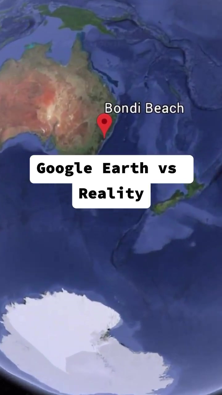
Sitting by the moonlit beach, a phone lights up with Google Earth. The map shows Bondi Beach's skeletal satellite view. What if we could see the real-world comparison? Google Earth's top-down satellite imagery is compared to street-level reality. The aerial view transitions into a more detailed image revealing the intricacies of the beachfront itself. Bondi Beach is revealed by the Google Earth imagery versus the actual environment.
Seeing the World Through Google Earth’s Eyes
Google Earth is a virtual representation of our planet. It stitches together satellite imagery, aerial photography, and geographic information system (GIS) data. It lets users zoom and explore every corner of the Earth’s topography or urban sprawl — from mountain ranges to bustling streets. This 3D digital globe was first launched in 2005 as Earth Viewer for Windows and MacOS. It was later merged with Google Maps as a web-based app. Users can navigate to any location and experience it from above. Google Earth’s intuitive controls allow users to seamlessly zoom in and out, tilt, and rotate the view. This combination of satellite imagery with the ground-level perspective gives a comprehensive view. It’s distinctive because it offers both a bird's-eye view and an immersive experience at ground level.
Understanding the World in Perspectives
Google Earth provides a way of seeing the world without needing to be physically present. This is a powerful perspective because it democratizes access to locations around the world. The gap between experiencing a place remotely and being there is narrowing. Yet, nothing can replace the feeling of standing on Bondi Beach sand. Street view’s camera allows us to see what’s happening around the street, which is a good approximation to being there in person.
What it shows and What it Misses
It’s easy to see why satellite imagery has its advantages. Google Earth's zoomed-out satellite view offers a comprehensive overview of the landscape. It's the go-to tool for understanding the broader geography of an area. The street view changes perspective to a human-scale view. This is handy for daily navigation and understanding the immediate environment. Users can see landmarks or street configurations. If we look at Google Earth’s view of Bondi Beach, we will see the sprawling ski beach along with its facilities. The satellite view spans the entirety of the beach, encompassing both the urban surroundings and the coastline. Google Earth offers a more detailed aerial view of Bondi Beach by zooming in. This shows features like the iceberg pools, grassy spaces, and the iconic beach curve. All on a high resolution image.
Missing Sensory Details
On the other hand, Google Earth is lacking in visual details for high-accuracy mapping—dust on the beach, an ice cream shop, a seafood stand, or the sun on your skin. . One real-life experience of Bondi Beach is the feeling of sand between your toes. A further example is Bondi Baths, which offers a view of the shoreline from a different perspective. The street level view, which is just a snapshot, omits the daily life and weather conditions. The entire experience of a beach like Bondi is not captured fully in Google Earth. The feeling of the sun on your skin or the taste of seafood is not something Google Earth can offer.
Living in Three Dimensions
The most distinguishing feature of Google Earth is that it offers a 3D view of numerous places, which shows the terrain better. It creates a 3D feature using satellite imagery, aerial photography, and other data. According to Google Earth's official site, they claim that this feature "lets you see the world in a whole new way. With Street View, you can take a stroll down Broadway, stand at the foot of the Great Pyramid, or see the top of the Eiffel Tower." While usually the satellite imagery is from above, the 3D view changes that. It allows for a more immersive experience as it shows the contours of mountains, deep dives into valley views, and the height of buildings. Other software and platforms also offer 3D views but Google Earth hews more closely to reality than most of them. It is accurate because it uses real data from the real world. Using Google Earth street view for navigation is still less immersive than using other software that offers 3D street view. Yet it still helps with navigation better than other platforms. The large aspect of Google Earth is its 3D feature.
Is Google Earth Accurate?
Google Earth has multiple layers of data. When it comes to the accuracy of Google Earth, it is important to distinguish between the different types of data. The satellite imagery and aerial photography is from many sources and therefore accuracy varies. The maps within Google Earth are accurate enough for practical navigation.
Longing for the Reality
Google Earth is a powerful tool. Yet, often, people compare Google Earth with reality. There are certain things that Google Earth can't offer. Google Earth provides an overview of a place and an experience of ground level. But it cannot provide what you would experience personally. Google Earth provides a means to see the world without needing to be physically there. The gap is narrowing, yet, the feeling of stepping into Bondi Beach sand is not something that Google Earth can replicate fully.
Google Earth: Your Trusted Navigator
While Google Earth is a powerful tool, it’s not a replacement for real-world exploration. For a curious traveler Google Earth is a great tool. Users can zoom in to specific locations, view them in 3D, and get a comprehensive understanding of the terrain and landmarks. Google Earth is a tool that can be used to see the world from the comfort of your home and to navigate around the world. Google Earth has its own strengths and weaknesses. It's a tool that can help you navigate the world.
Watch the Reel
Questions readers ask
How does Google Earth combine different types of imagery to create its views?
Google Earth integrates satellite imagery, aerial photography, and GIS data to create a comprehensive view of the world. This combination allows users to zoom in and out, tilt, and rotate the view, providing both a bird's-eye view and an immersive ground-level experience.
What makes Google Earth’s view of Bondi Beach so distinctive?
Google Earth’s view of Bondi Beach is distinctive because it offers both a broad satellite view that shows the entire beach and its surroundings, and a detailed aerial view that reveals specific features like the iceberg pools and grassy spaces.
Can Google Earth replace the experience of being at a location like Bondi Beach?
While Google Earth provides a detailed and comprehensive view of Bondi Beach, it cannot fully replace the real-life experience. The platform misses out on sensory details like the feeling of sand between your toes or the weather conditions, which are essential parts of being there in person.
How does Google Earth's imagery compare to street-level views?
Google Earth’s satellite imagery offers a broad overview of an area, while the street-level view provides a more detailed, human-scale perspective. The satellite view is great for understanding the broader geography, while the street view is useful for daily navigation and seeing specific landmarks or street configurations.
What are the limitations of Google Earth’s street view?
Google Earth’s street view is a snapshot in time and does not capture the daily life, weather conditions, or specific sensory details of a location. For example, it might show Bondi Baths but won’t capture the view from there or the experience of being at the beach.
Related deep dives
Similar reads based on topic and creator.




Recent articles
Fresh deep dives from the latest Reels we unpacked.




Comments
Be the first to comment.