Plate Tectonics in Action
Fifty million years ago, the Indian and Eurasian plates converged and merged — a process that continues today, despite the geological timescale. The collision began with the shutting down of the ancient Tethys Ocean. As tectonic plates continued their drift, the crust buckled upwards. This led to the formation of the Himalayas, the mighty mountain range that spans across the border of Nepal and China. Ever since, the Himalayas have been a living example of geological movements. Scientists often credit Everest with being the only place where the mountain itself is still ascending, with its elevation still increasing. Specifically, the Himalayas continue to rise at a rate much quicker than most geological formations' typical movements.
The Grandeur of Mount Everest
Nestled in the Himalayan range, Everest features prominently in understanding the dynamics of plate formations and their constant shifts. The Earth's crust continues to deform its structure millimeter by millimeter, perpetually pushing the peaks upward. The ascent of Everest highlights the power of plate tectonics in action, illustrating how continents shift and transform. This mountain drives scientific studies around the world. It provides a unique opportunity for scientists to study a geological process that is active even in this time-in-the-making phenomenon. The geographical feature's simplicity and grandeur have become a key element in the study of geological shifts.
The Impact of Collisions
The Himalayas' formation, which started around fifty million years ago with the collision of the Indian and Eurasian plates, left a lasting effect on the surrounding land and oceans. The report of the ancient Tethys Ocean closing off continues to affect the landscape of the Himalayan range. The collision caused the crust to buckle, pushing the Himalayas upwards and leading to the massive peaks that define the landscape of Nepal and China. This entire process did not stop with the initial collision. Most geological formations are hard to see in action, but scientists have measured the rise of the Himalayas and Everest even today.
The Power of Visualization
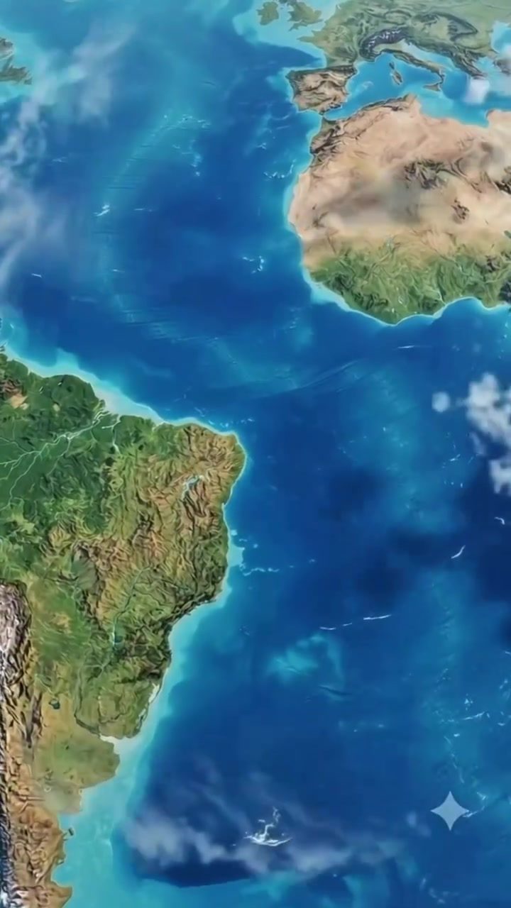
The visualization of space and distance is a valuable way to comprehend the scale and complexity of geology. Rotating 3D models of Earth allow us to see the globe in all its detail, including the full splendor of Mount Everest. The journey from the Americas to the African and Russian continents and eventually a close-up of Asia's highest peak provides a truly immersive experience, showcasing the wonders of the world and the immense changes it has undergone over time. Viewers get a clear insight into the shifting landscape through geographical visualization. The visualization of various continents and Everest's peak allows viewers to understand the power of plate shifts and geological movements.
Watch the Reel
Related deep dives
Similar reads based on topic and creator.
Recent articles
Fresh deep dives from the latest Reels we unpacked.
Comments
Be the first to comment.