Aerial Survey
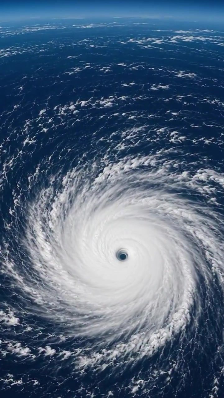
Hurricane Lowell presses towards Hawaii, a behemoth of nature residing over the ocean. The aerial views show the hurricane as a leviathan. Unlike wind gusts that merely ruffle the ocean's surface, hurricanes bring walls of water. With winds of 115 mph, and its outer circulation already bringing rain to Kauai and Oahu. "the centre will soon arrive". The aerial perspectives gives nuanced insight. Not only are the individual cloud patterns visible, but the structure of the storm is evident. The storm clouds spiral inward, pulled by the powerful winds.
The Impact on Hawaii
Oahu and Kauai are seeing rainfall from Lowell's outer circulation, a precursor to the hurricane's full arrival. The aerial views show the immense scale of the hurricane. A hurricane's outer circulation, or rain bands, can stretch hundreds of miles from the eye, with torrential rains and high winds; its rainfall has already reached the Hawaiian islands. It's a stark reminder of a hurricane's vast reach. As the storm closes in on Hawaii, the impacts are expected to intensify. Emergency services are prepped.
The Eye of the Storm
The hurricane's eye is its most recognizable feature, a central region of calm and clear skies, despite the storm's fierce winds. Its symmetrical shape offers insight into the hurricane's power dynamics. Based on the speed of Lowell's rotation and the power of its winds, the eye could be around 20-40 miles wide. Flying through the eye itself is possible in an aircraft and avoiding the surrounding walls of incredibly intense wind, capable of flattening infrastructure. The eye is where pilots could navigate as a last resort.
Watch the Reel
Related deep dives
Similar reads based on topic and creator.




Recent articles
Fresh deep dives from the latest Reels we unpacked.


Comments
Be the first to comment.