The Modern Eye in the Sky
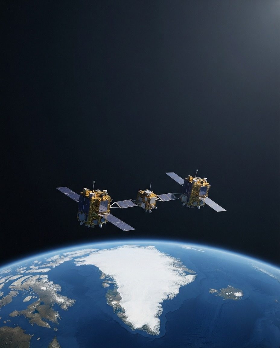
Satellites have become silent sentinels, perpetually orbiting Earth and chronicling its every facet. Their solar panels outstretched, these spacecraft capture the polar regions' icy expanses and vast continents. Unlike archetypal eyes, satellites' orbits are systematic, predestined routes. Capturing data from a measured distance is key to their function. This miles-high view provides insights into our planet's geological, environmental, and meteorological shifts. Satellites also serve as vital communication relays. Their unblinking gaze carries signals across vast distances, maintaining global connectivity. Beneath the satellites, the Earth continues to spin, revealing its polar regions, landmasses, and oceans as terrestrial passengers of celestial travel. By offering an aerial perspective that mirrors an astronaut's, satellites provide an objective view of our globe.
Visualizing the Invisible
Satellite technology has evolved to visualize phenomena that are invisible to the naked eye. For instance, polar satellites can capture temperature variations, which are crucial for climate studies. They can be used to identify open water areas between sea ice. Satellites also give useful information that can be used to aid navigation through sea ice. This is particularly useful for mapping sea ice provides late fall, early winter, and spring navigational conditions. It can help avoid potential hazards and propose routes. This technology also aids in monitoring critical environmental changes. Satellites are equipped to detect deforestation and flooding, rendering them indispensable tools for ecological conservation and disaster management. Satellites aid in determining sea ice cover, which can aid in calculating currents and ocean circulation. The data gathered can also be essential for understanding marine ecology, particularly in polar regions.
Applications and Advances
Satellite imagery's applications span numerous fields. Geologists use satellite data to study Earth's geologic processes and tectonics. Tracking changes in the Earth’s surface, from tectonic movements to volcanic activity. Additionally, urban planners rely on satellites to monitor suburban sprawl and plan infrastructure. Advances in satellite technology are continuously reshaping how data is collected and utilized. Future satellites are expected to offer even higher resolution images and more sophisticated data analysis capabilities. This promises to uncover even deeper layers of information about our planet and its delicate systems. Whether it's tracking climate changes, monitoring urban development, or aiding in disaster relief, satellite technology provides a unique perspective. The continuous monitoring capabilities and the breadth of data they offer make satellites indispensable for numerous industries, including environmental monitoring, climate studies, and national security.
Watch the Reel
Related deep dives
Similar reads based on topic and creator.



Recent articles
Fresh deep dives from the latest Reels we unpacked.



Comments
Be the first to comment.