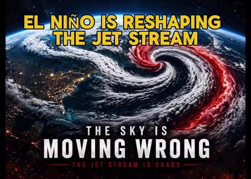
El Niño and the Jet Stream
In the realm of climate science and meteorology, "El Niño" is not merely a phenomenon; it's a harbinger of significant weather changes. A greater than 90% chance of a very strong El Niño this fall and winter means that its impacts will likely be unprecedented. When an El Niño emerges, it's akin to a global weather pattern shift — altering wind directions, temperatures, and precipitation. The jet streams are strong, narrow currents of wind in the upper atmosphere. When an El Niño occurs, it can weaken the jet stream. This is because, in the tropics and the tropopause, the El Niño takes shape, and the jet stream is redirected or disrupted, bring more heat to the poles. This can consequently lead to chaotic weather patterns across the globe. Stronger and warmer than usual El Niño events mean the jet stream is expected to stray further from its typical path. The most prominent effect of the El Niño and the jet stream disruption is the shifting weather patterns. This impacts precipitation patterns, which in turn affects water availability for agriculture and ecosystems. Thus, the interaction between El Niño and the Jet Stream is not just a meteorological curiosity; it's a critical factor in global weather forecasting, agricultural planning, and environmental management.
The Red Vortex
NOAA asserts that the greater than 90% chance of a very strong El Niño this fall and winter will drastically change the weather. This is because the prevailing southward winds from the Pacific Ocean — bolstered away from the Equator, are weakened. This lack of wind causes more widespread warming in the ocean, which in turn promotes further oceanic and atmospheric warming, which in turn inflames the atmosphere. The result is the "red vortex" of chaotic weather. This chaotic weather pattern is not limited to one part. The weakening of the jet stream signifies a redistribution of precipitation. Some areas, especially the dry regions, will experience a surge in rainfall. Conversely, some drought-prone regions might see amplified dry spells. In an analogous sense, this is as if someone has taken out the main bridge of a highway, and people have to find a way around it. Despite significant advances in predictive modeling, accurately forecasting the precise extent and trajectory of El Niño's influence on the jet stream remains a complicated task. This is due in part to the inherent chaos of the weather and the many variables at play, and in part to the fact that weather patterns in the Southern Hemisphere are less well monitored.
Watch the Reel
Related deep dives
Similar reads based on topic and creator.
Recent articles
Fresh deep dives from the latest Reels we unpacked.

Comments
Be the first to comment.