Historical Earthquakes in the New Madrid Seismic Zone
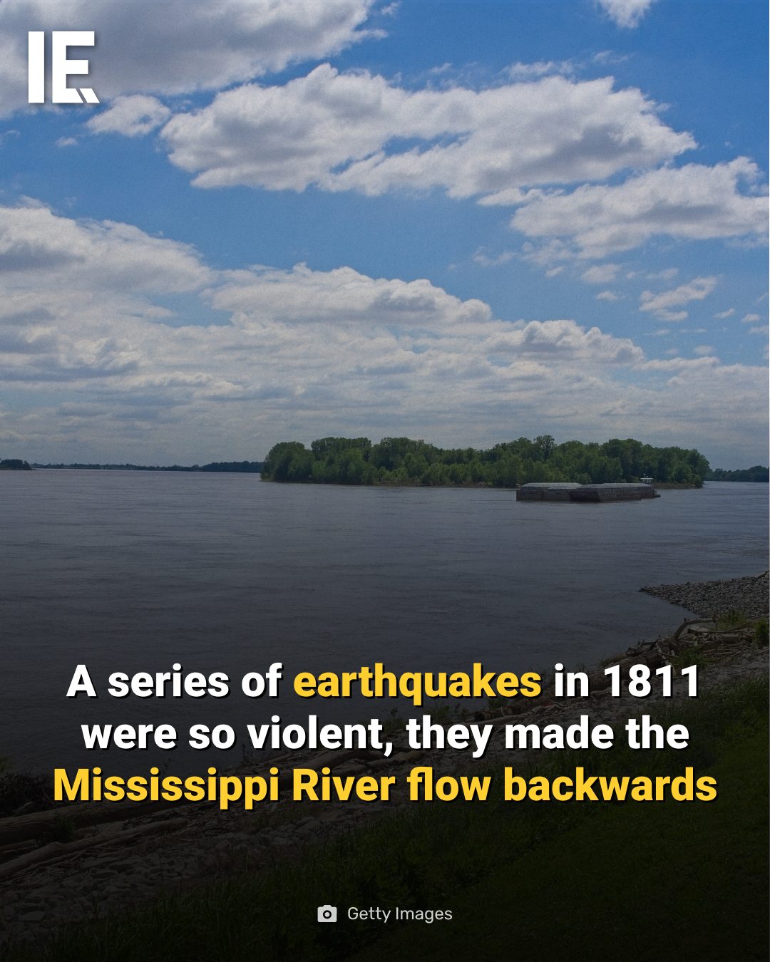
The winter of 1811–1812 saw a series of massive earthquakes strike the New Madrid Seismic Zone in the central United States. These earthquakes were among the most powerful ever recorded in North America, with estimated magnitudes between 7.0 and 8.0. The ground shook so violently that witnesses reported the Mississippi River appearing to flow backward in places, as riverbanks collapsed and the riverbed shifted dramatically beneath the water. Church bells rang as far away as Boston, and the quakes permanently reshaped the landscape, forming Reelfoot Lake in Tennessee.
Why This Matters
Understanding the historical significance of these earthquakes is crucial for several reasons. The New Madrid Seismic Zone remains active today, making it one of the most significant earthquake hazards in the United States. Scientists continue to monitor this area closely, and studying past events helps in preparing for future seismic activity. The 1811–1812 earthquakes serve as a reminder of the immense power of nature and the importance of being prepared for such disasters.
Main Discussion
The New Madrid Seismic Zone
The New Madrid Seismic Zone is a major seismic zone in the central United States, stretching from northeastern Arkansas through southeastern Missouri, western Tennessee, western Kentucky, and southern Illinois. The zone is named after the town of New Madrid, Missouri, which was near the epicenter of the 1811–1812 earthquakes. The zone is particularly notable because it is located in the interior of the North American Plate, far from the boundaries where most earthquakes occur. This makes it a unique and important area for geological study.
The 1811–1812 Earthquakes
The 1811–1812 earthquakes were a series of powerful tremors that occurred in the New Madrid Seismic Zone over a period of about three months. The first major earthquake hit on December 16, 1811, with an estimated magnitude of 7.0-8.0. This was followed by a series of aftershocks, including a major earthquake on January 23, 1812, with a similar magnitude. The final significant earthquake occurred on February 7, 1812.
The Impact on the Landscape
The earthquakes had a profound impact on the landscape. The shaking was so intense that it caused the Mississippi River to appear to flow backward in places. The shaking was so severe that it caused the river to change its course in some areas, and it also created new waterways and lakes. One of the most notable changes was the formation of Reelfoot Lake in Tennessee, which was created when the land sank and the river flooded in to fill the newly formed depression.
Historical Accounts
Witnesses to the earthquakes described the ground shaking so violently that it was difficult to stand, and objects were thrown into the air. The shaking was so intense that it caused chimneys to topple and buildings to collapse. The earthquakes were felt as far away as Boston, where church bells reportedly rang due to the seismic waves. The accounts from people who experienced the earthquakes provide a vivid picture of the devastation and the sheer power of the seismic activity.
Geological Implications
The 1811–1812 earthquakes are of significant geological interest because they occurred in the interior of the North American Plate, far from the boundaries where most earthquakes occur. This makes the New Madrid Seismic Zone a unique and important area for study. Scientists continue to monitor the zone closely, using advanced technology to understand the mechanisms behind the earthquakes and to predict future seismic activity. The zone is considered one of the most significant earthquake hazards in the United States, and understanding its behavior is crucial for preparedness and mitigation efforts.
Modern Monitoring and Preparedness
Today, the New Madrid Seismic Zone is closely monitored by various scientific and governmental agencies. Networks of seismometers and GPS stations are used to detect and measure seismic activity in real-time. This data is used to improve our understanding of the zone's behavior and to develop more accurate models for predicting future earthquakes.
In addition to scientific monitoring, there are ongoing efforts to improve preparedness and mitigation measures. Communities in the New Madrid Seismic Zone are urged to have emergency plans in place, including earthquake safety kits and evacuation routes. Schools and public buildings are also equipped with earthquake-resistant features to minimize damage and protect lives.
Practical Tips
Preparing for Earthquakes
Living in an earthquake-prone area like the New Madrid Seismic Zone requires vigilance and preparation. Here are some practical tips to help you stay safe:
-
Create an Emergency Plan: Develop a family emergency plan that includes evacuation routes, meeting points, and communication strategies. Make sure everyone in your household knows what to do in case of an earthquake.
-
Emergency Supply Kit: Assemble an emergency supply kit that includes essential items such as water, non-perishable food, a first-aid kit, flashlights, batteries, and a portable radio. Keep this kit in an easily accessible location.
-
Secure Your Home: Secure heavy furniture, appliances, and other items that could fall during an earthquake. Use earthquake-resistant hardware and secure items to the walls or floor.
-
Stay Informed: Stay informed about earthquake hazards and preparedness measures. Follow local news and updates from scientific and governmental agencies.
-
Know the Signs of Earthquakes: Learn the signs that can indicate an impending earthquake, such as small tremors or changes in groundwater levels. Being aware of these signs can help you react quickly when an earthquake strikes.
Important Takeaways
The 1811–1812 earthquakes in the New Madrid Seismic Zone were a series of powerful and devastating events that reshaped the landscape and left a lasting impact on the region. Understanding the historical significance of these earthquakes is crucial for preparedness and mitigation efforts in the present and future.
The earthquakes provide valuable insights into the geological processes at work in the New Madrid Seismic Zone and underscore the importance of ongoing monitoring and research. By studying past events and staying informed about current seismic activity, communities can better prepare for and respond to future earthquakes. The lessons learned from the 1811–1812 earthquakes continue to inform our understanding of earthquakes and the measures needed to protect lives and property.
Conclusion
The 1811–1812 earthquakes in the New Madrid Seismic Zone were a pivotal event in the history of North America, demonstrating the immense power of seismic activity and its lasting impact on the landscape. As the New Madrid Seismic Zone remains active today, the lessons from these historic earthquakes continue to guide our understanding of seismic hazards and the importance of preparedness. By staying informed, creating emergency plans, and securing our homes, we can better protect ourselves and our communities from future seismic events.
Watch the Reel
Questions readers ask
What caused the Mississippi River to appear to flow backward during the 1811-1812 earthquakes?
The massive earthquakes in the New Madrid Seismic Zone were so powerful that they caused the riverbanks to collapse and the riverbed to shift dramatically, resulting in the appearance of the Mississippi River flowing backward in certain areas.
How many earthquakes occurred in the New Madrid Seismic Zone during the winter of 1811-1812?
The winter of 1811-1812 saw a series of earthquakes. While the exact number is debated, there were several significant events that occurred over a few months, with the most powerful ones striking on December 16, 1811, January 23, 1812, and February 7, 1812.
What is the New Madrid Seismic Zone and why is it significant?
The New Madrid Seismic Zone is a major seismic area located in the central United States. It is significant because it has produced some of the most powerful earthquakes in North American history, including the 1811-1812 events, and it remains active today, posing a risk for future seismic activity.
What other unusual effects were reported during the 1811-1812 New Madrid earthquakes?
In addition to the reversed flow of the Mississippi River, witnesses reported that church bells rang as far away as Boston due to the intense seismic waves. The earthquakes also caused the ground to liquefy, resulting in sand blows and the formation of Reelfoot Lake in Tennessee.
What is the estimated magnitude of the 1811-1812 New Madrid earthquakes?
The estimated magnitudes of the powerful earthquakes in the New Madrid Seismic Zone during the winter of 1811-1812 range between 7.0 and 8.0, making them among the most significant seismic events in North American history.
How did the 1811-1812 earthquakes reshape the landscape of the region?
The powerful seismic activity caused significant changes to the landscape, including the formation of Reelfoot Lake in Tennessee. The earthquakes permanently altered the course of the Mississippi River and caused the ground to sink or rise in certain areas, creating new landforms and modifying the existing topography.
Is the New Madrid Seismic Zone still active today?
Yes, the New Madrid Seismic Zone is still active. Scientists continue to monitor the area for seismic activity, as the potential for future earthquakes remains a concern for the region.
Related deep dives
Similar reads based on topic and creator.




Recent articles
Fresh deep dives from the latest Reels we unpacked.




Comments
Be the first to comment.