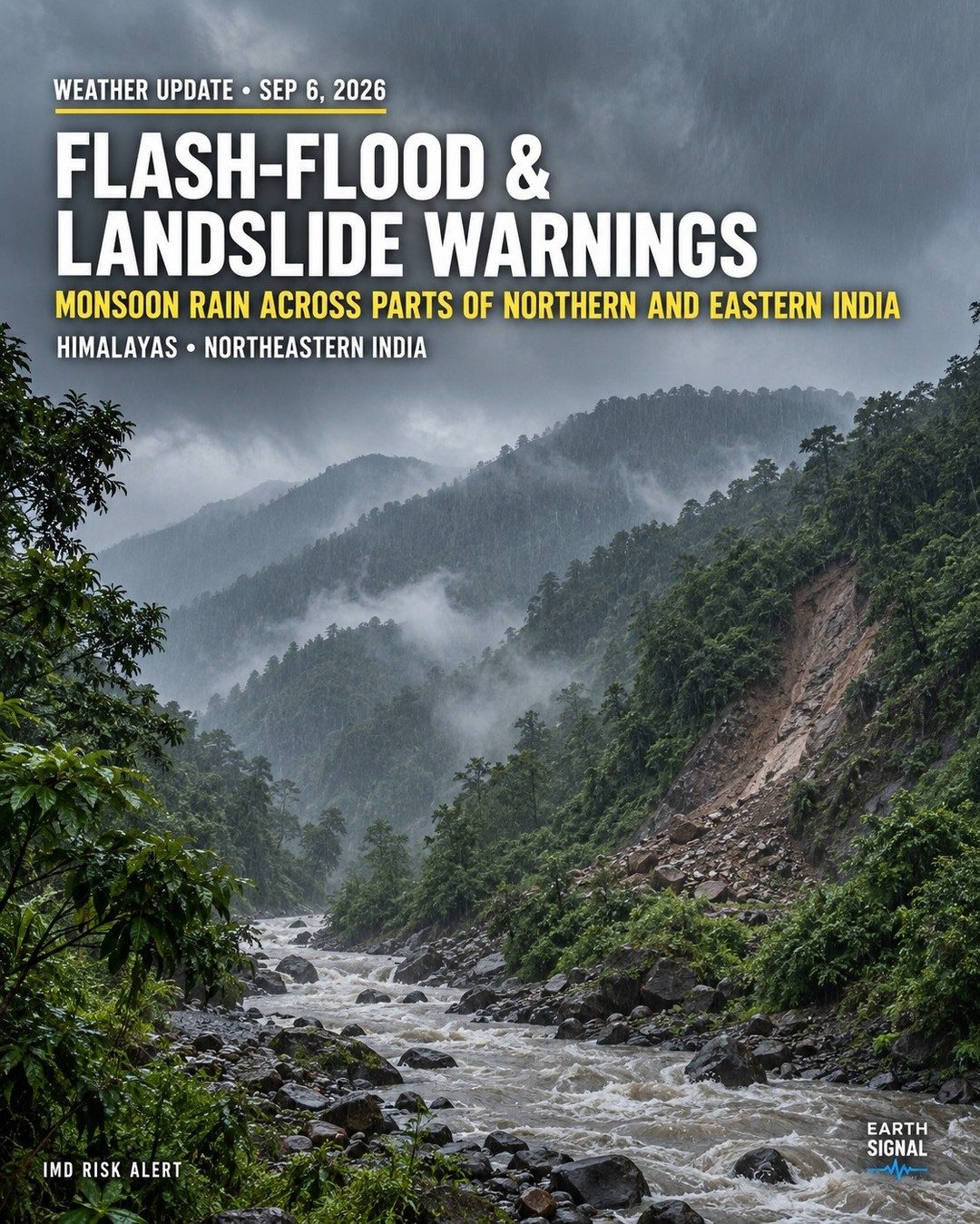
Monsoon Rains Bring Flood and Landslide Risk
Residents of Northern and Eastern India, particularly those in the Himalayas and Northeastern regions, are under a heightened state of alert. The India Meteorological Department (IMD) has issued a crucial warning. Monsoon rains have triggered flash flood and landslide alerts. These weather events carry significant risks. This alert underscores the volatile nature of monsoon seasons in these regions. The Himalayas, with their steep terrain and heavy rainfall, are particularly susceptible to landslides. The sodden earth loses its grip, sending mud and rocks careening down slopes. Northeastern India, too, faces the threat of flash floods. Rivers swell rapidly, overwhelming their banks and rushing into adjacent areas. The IMD risk alert is more than a routine weather update. The IMD utilizes a sophisticated, it integrates radar data with satellite imagery. This integration helps it predict and track weather patterns with remarkable accuracy. The result is a real-time alert system that can save lives and minimize property damage. The Earth Signal, which appeared on the alert, suggests that the dataset has been processed from the geospatial inputs.
The Impact Zone
The affected zones encompass regions of Northern and Eastern India as well. Himalayan and Northeastern regions are unique victims of severe weather patterns. The Himalayas, with their towering peaks and deep valleys, are particularly prone to landslides. The intense rainfall saturates the soil, which then fails to anchor to loose rock. The defendant is decent, but the land collapses. When additional rainfall transforms rivers into raging torrents, flash floods ensue. The remote topography of Northeastern India adds to the challenges. Communities nestled in valleys or along rivers are quickly isolated. Rivers breach their banks, engulfing homes, roads, and bridges. The terrain presents logistical challenges to rescue and relief operations. The IMD's early warnings will provide more time to prevent loss of life. Yet, the region's remote and rugged terrain is a significant obstacle. Once the alert is raised, evacuations must take place before the rains strengthen.
IMD's Role and Preparedness
The IMD operates a sophisticated monitoring system that integrates radar data, satellite imagery, and geospatial inputs. This combination allows for real-time monitoring and prediction of weather patterns. The department utilizes an advanced alert system to disseminate warnings. The international community supports the IMD, providing technological and financial backing. Preparedness is critical in mitigating disaster risks. The IMD's warnings empower local authorities to take proactive measures. Residents must heed these alerts and follow evacuation orders. Preparedness can significantly reduce the impact of these natural hazards. Community readiness is a key factor in minimizing damage. Local governments create the infrastructure to handle these crises. Their response is crucial in the aftermath of natural disasters. Political will and coordination between governmental bodies and community organizations are vital. When the IMD issues a warning, they should ensure that authorities respond swiftly. The IMDS warning will serve as a guide for disaster preparedness. The IMD's timely alerts and coordinated efforts are essential in reducing the risks.
Watch the Reel
Related deep dives
Similar reads based on topic and creator.
Recent articles
Fresh deep dives from the latest Reels we unpacked.



Comments
Be the first to comment.