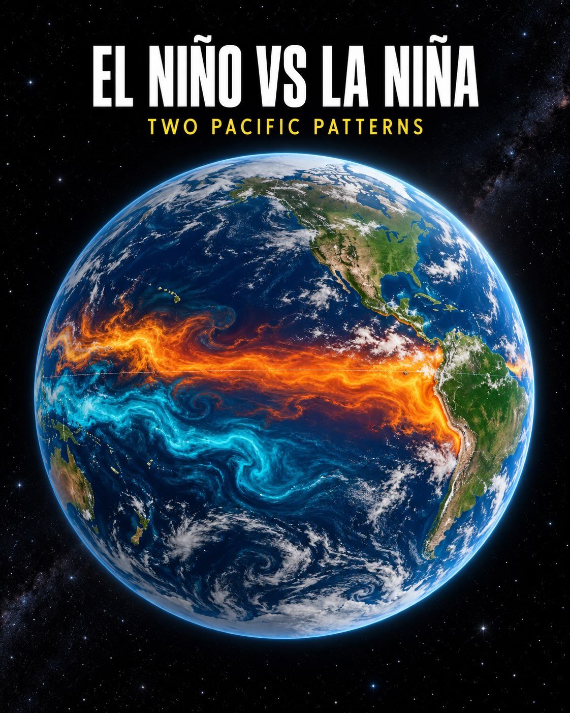
Pacific power players
El Niño and La Niña aren't weather events — they are global climate forces. Both phenomena, known as the El Niño-Southern Oscillation (ENSO), originate in the Pacific Ocean. El Niño is the warm phase, defined by unusually warm water shifting east in the Pacific Ocean. In contrast, La Niña is the cool phase, with cold water rising east in the Pacific Ocean. These patterns play a significant role in shaping weather patterns, particularly in the tropical regions. According to NOAA’s September 10, 2026 data, El Niño is currently strengthening. El Niño isn’t just about warm water. The phenomenon disrupts normal atmospheric conditions, potentially causing shifts in precipitation and temperature patterns worldwide. Agriculture is particularly vulnerable. For farmers in the Pacific Northwest, El Niño can bring droughts, while in Australia, it can unleash torrential rain and flooding. These effects can swing global food markets and prices.
Strengthening El Niño — Why worry, why now
At least 90% of climate scientists concur: the world is feeling the effects of climate change. So it is a relief that the NOAA forecasts of El Niño are confirmed to be accurate. The agency uses a sea surface temperature anomaly map, which graphically illustrates the variations from the average. The coldest areas are indicated by blue, while the warmest are in red. This visual representation helps climate experts anticipate weather uncertainties and make necessary adjustments. The strengthening of El Niño is accompanied by extreme weather events and sea surface temperature anomalies. The current event has a greater than 90% chance of being very strong. The intensity of this El Niño is comparable to the one that occurred in 1997, with potentially similar impacts. "Forecast impacts are not guaranteed" according to the latest NOAA report. It's a warning for policymakers to prioritize adaptive measures for impeding disasters.
Climate forecasting
The September 2026 NOAA update reports a 90% chance of a very strong El Niño. Experts use sophisticated models and historical data to anticipate the intensity and duration of El Niño and La Niña episodes. These predictions are vital for regions heavily reliant on agriculture, fishing, and tourism, as well as public health and safety measures. Climate forecasting tools have evolved dramatically in recent decades, providing more accurate and timely information. These tools enable governments and organizations to prepare for potential impacts. This anticipatory approach can save lives and minimize economic losses, largely due to the valuable insights provided by climate models. La Niña, on the other hand, does not have the same weather anomalies as El Niño. Sea surface temperatures undergo a cooling event, with cold water rising east in the Pacific. This cooling event leads to a change in atmospheric conditions, causing persistent droughts in some regions. It is important to note that the impacts of La Niña can be just as damaging as those of El Niño. However, the effects can be less predictable and vary widely. Preparations during La Niña should also be proactive, because of the developing scenario of droughts and floods in Pacific regions.
Watch the Reel
Related deep dives
Similar reads based on topic and creator.

Recent articles
Fresh deep dives from the latest Reels we unpacked.
Comments
Be the first to comment.